About Irene, Lake
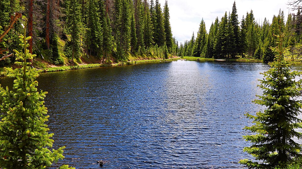
Irene, Lake sits at 10,624 feet in the Alpine Visitor Center / Trail Ridge area of Rocky Mountain National Park. Accessible from Trail Ridge Road; west side.
The hike from Lake Irene Picnic Area (Trail Ridge Rd) covers 0.3 miles one-way on a well-maintained, accessible trail. This lake sits on the west side of the Continental Divide.
Full descriptions, trail conditions, and photos coming soon as content is sourced from NPS, USGS, and community contributors.
Route Map
Photos
+ Add Photo
Hike Reports
No reports yet for this season.
Log your hike to leave a report for other visitors.